1,461 kmEl Chaltén → Ushuaia by road
2countries, 2 currencies
11–12 hPunta Arenas → Ushuaia by bus
25,000CLP · Torres del Paine, 1 day
50,000ARS · Los Glaciares, 1 day
100+ km/hwind gusts
Patagonia doesn't warn you. It teaches you. And it collects the fee on the spot, in the middle of the steppe, two hundred kilometres from the next ATM.
I lived in Puerto Natales, the gateway to Torres del Paine, for years. That's where I opened the Jhony Hause, my home open to Couchsurfing travellers, and people from all over the world came through that door with the same map in their heads: Torres del Paine, El Calafate, El Chaltén and, if time allowed, Ushuaia. On paper it looks like a loop. On the road it's almost 1,500 kilometres, two countries, two currencies and a wind that doesn't negotiate.
I learned these seven things by living there, not by reading about them. Each one comes with the concrete 2026 fact behind it, so you don't have to learn them the hard way. Today I write from Turin, but Patagonia is still the place that taught me the most about travelling.
What changed in 2026
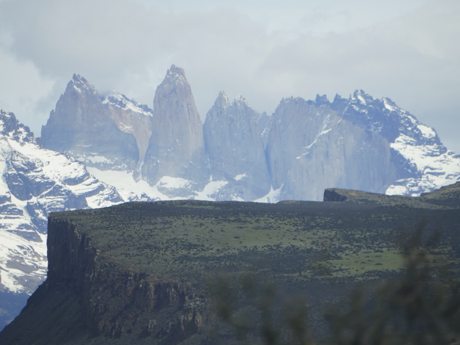
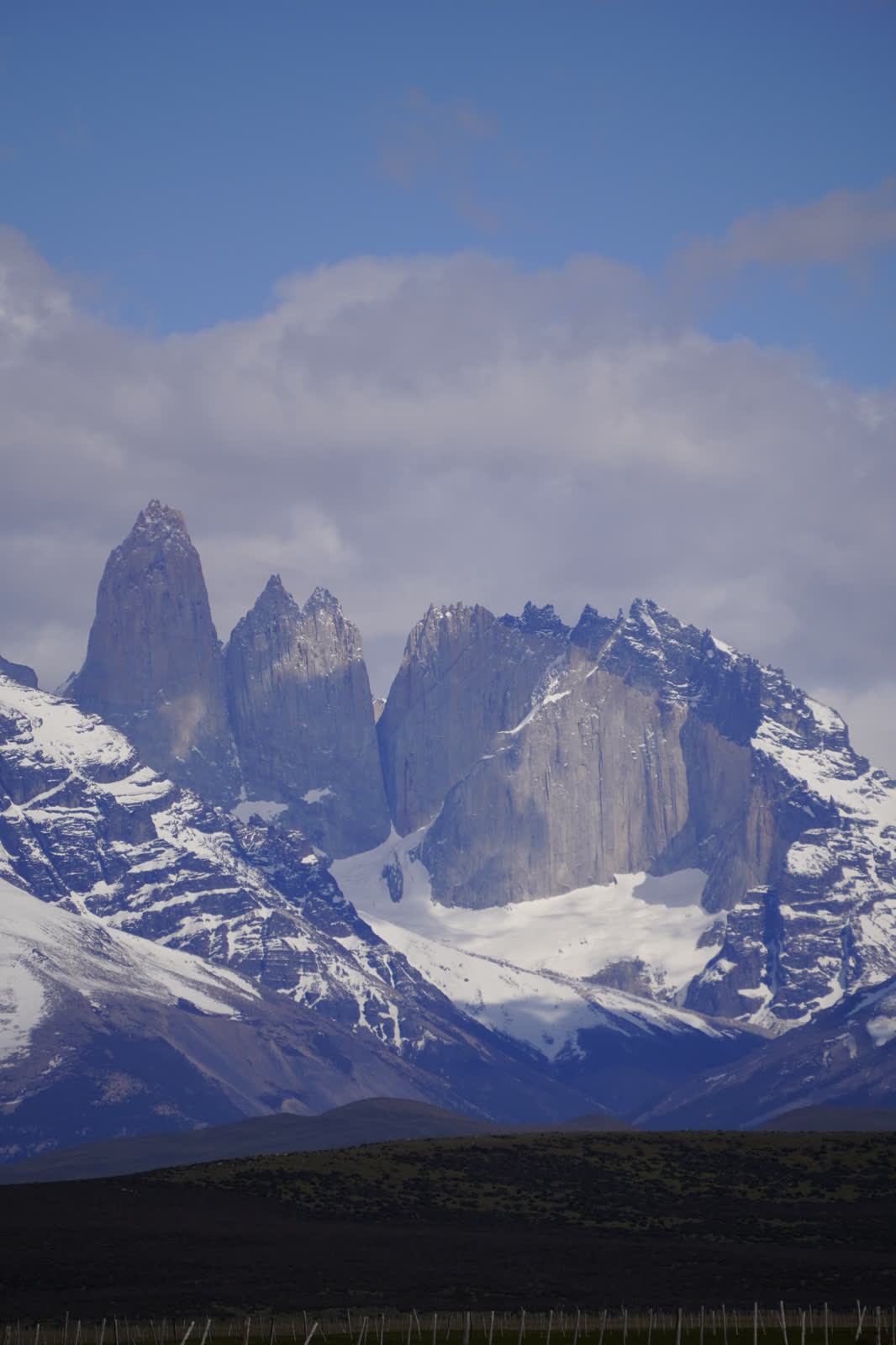
Torres del Paine: since 1 May 2026 there is a new ticket system, sold online only at pasesparques.cl. For foreign adults: CLP 25,000 for one day or CLP 50,000 for two days or more (valid for up to 10 consecutive days). No refunds unless the whole park is closed.
Los Glaciares (Argentina): since 1 June 2026, ARS 50,000 per day for foreigners; in El Chaltén, a 3-day Flexipass costs ARS 100,000. Since 3 March, El Chaltén also charges a fee of about ARS 3,000 to day visitors who don't sleep in town (you don't pay it if you arrive on a scheduled bus or have registered accommodation).
Prices change often: always confirm them on the official site when you buy.
Photo and map credits
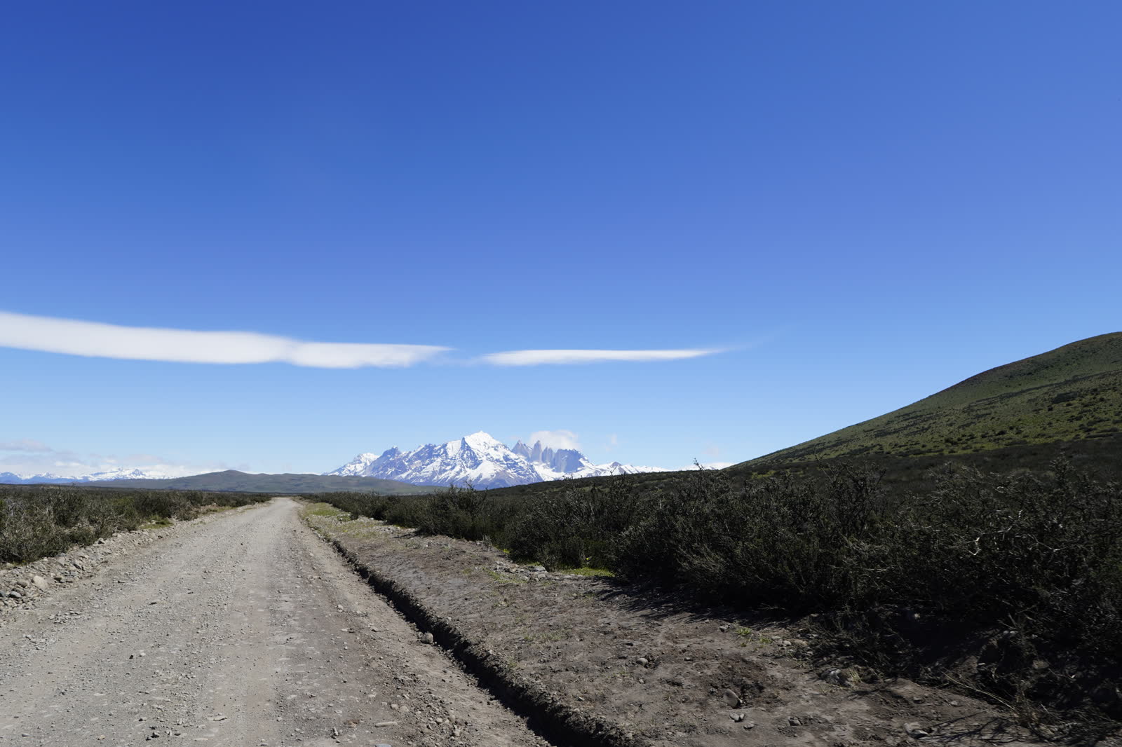
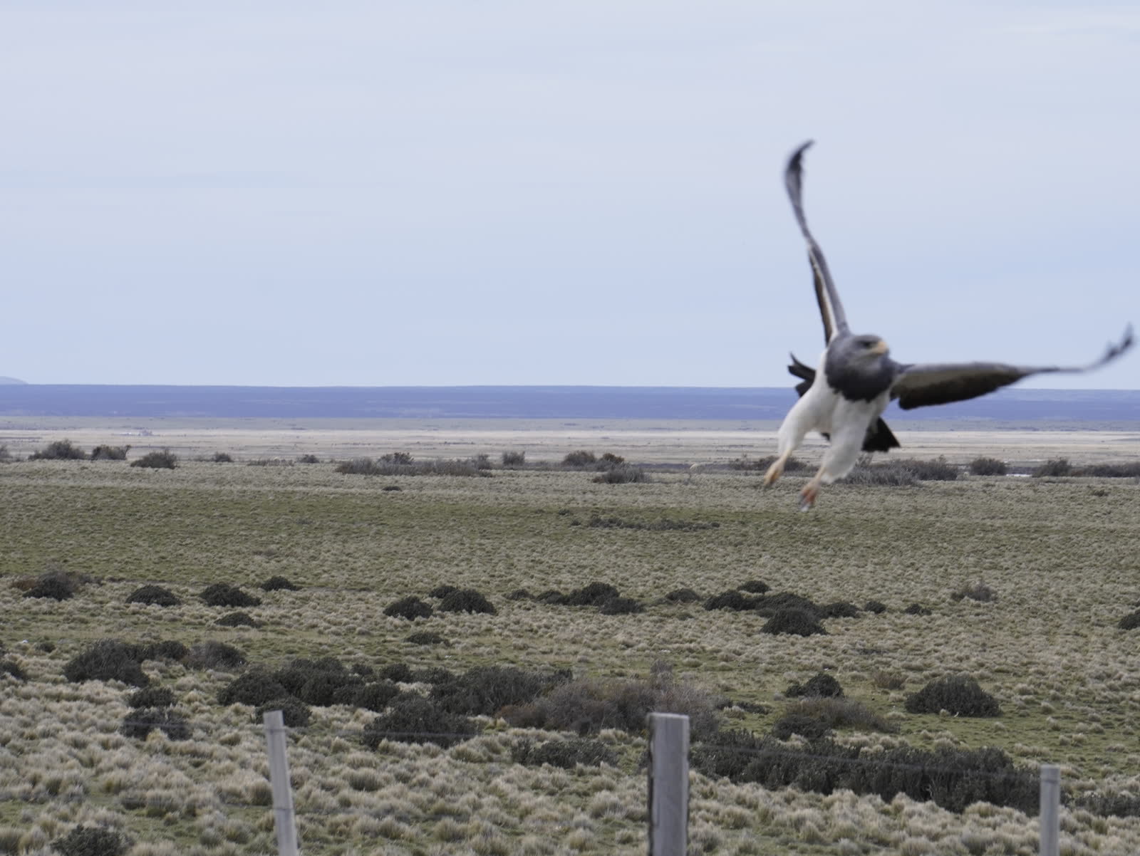
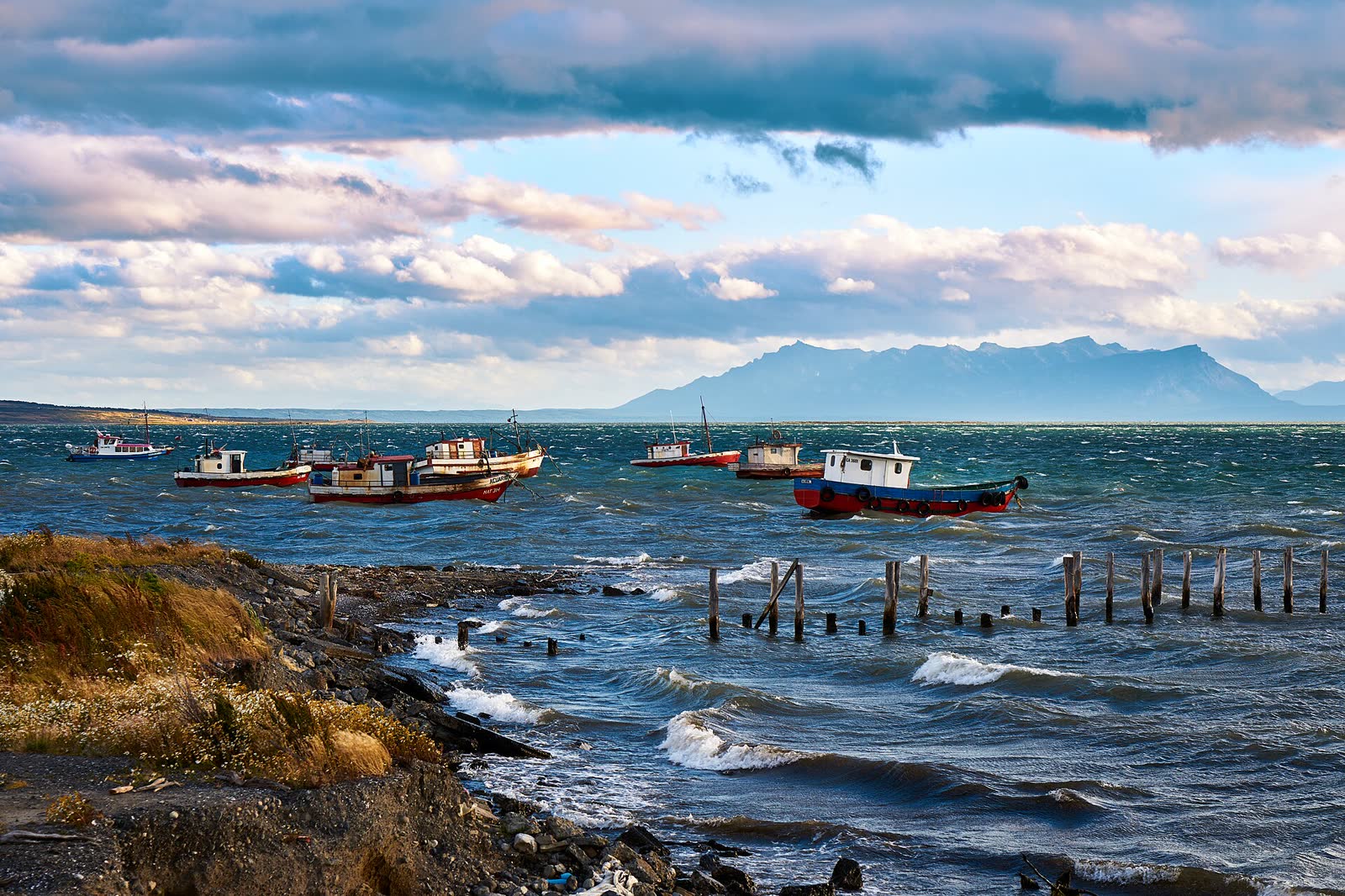
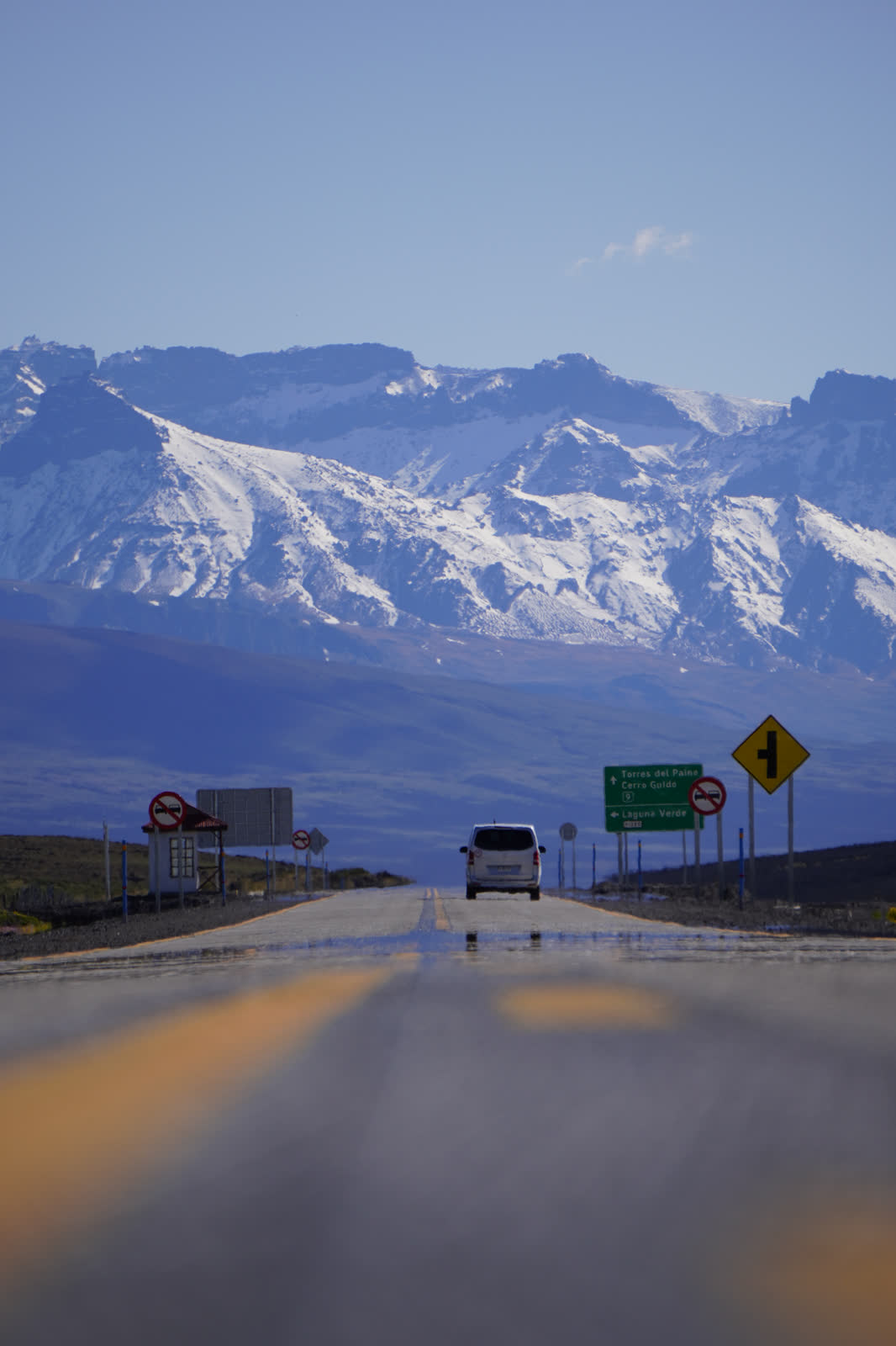
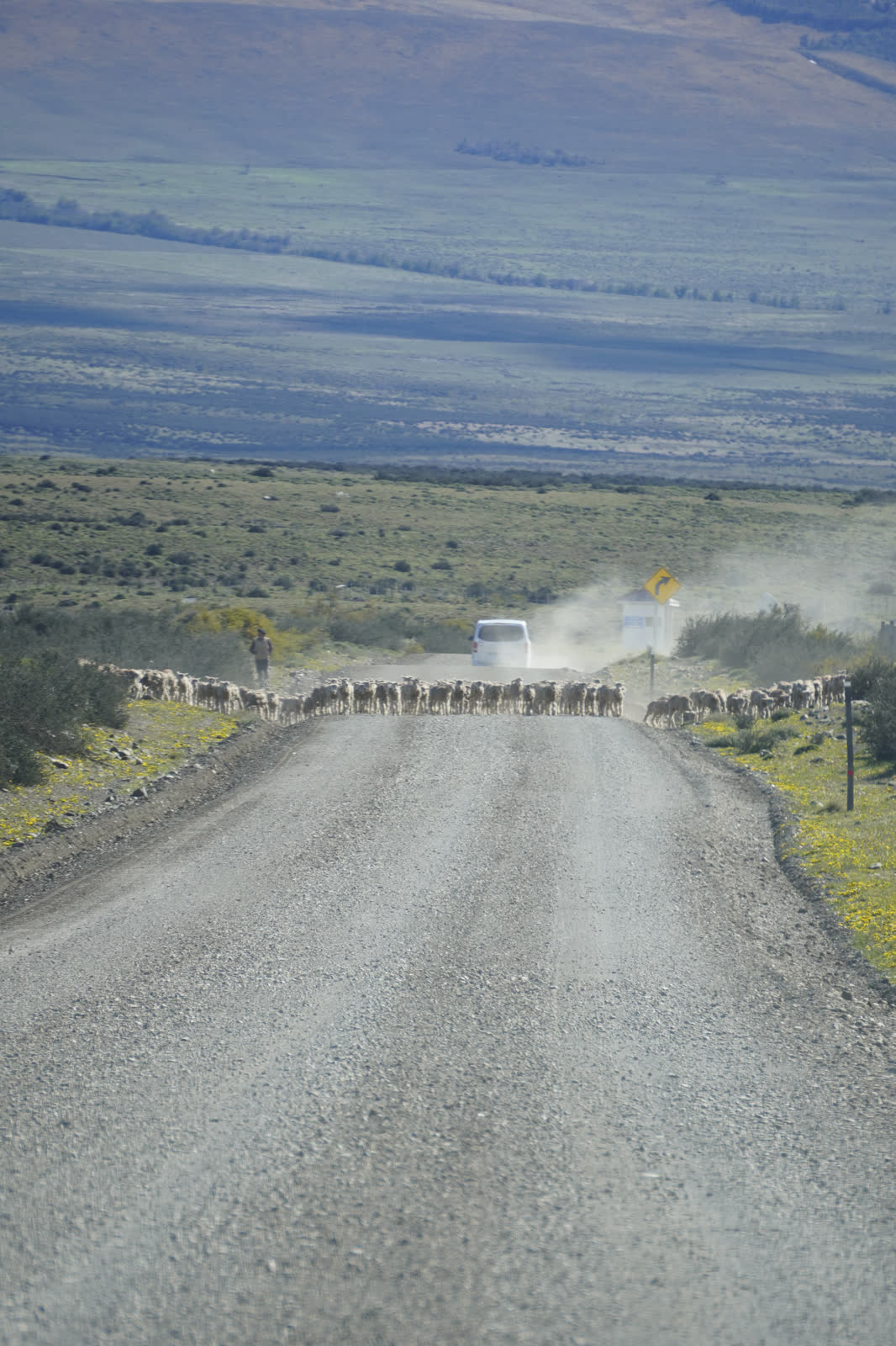
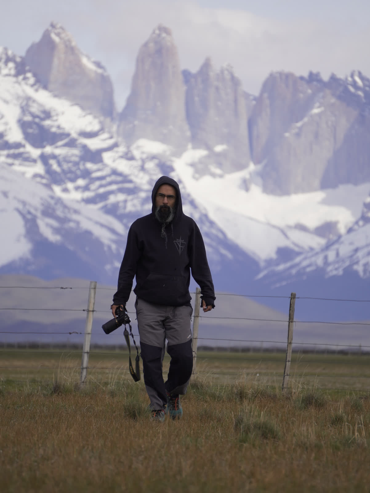
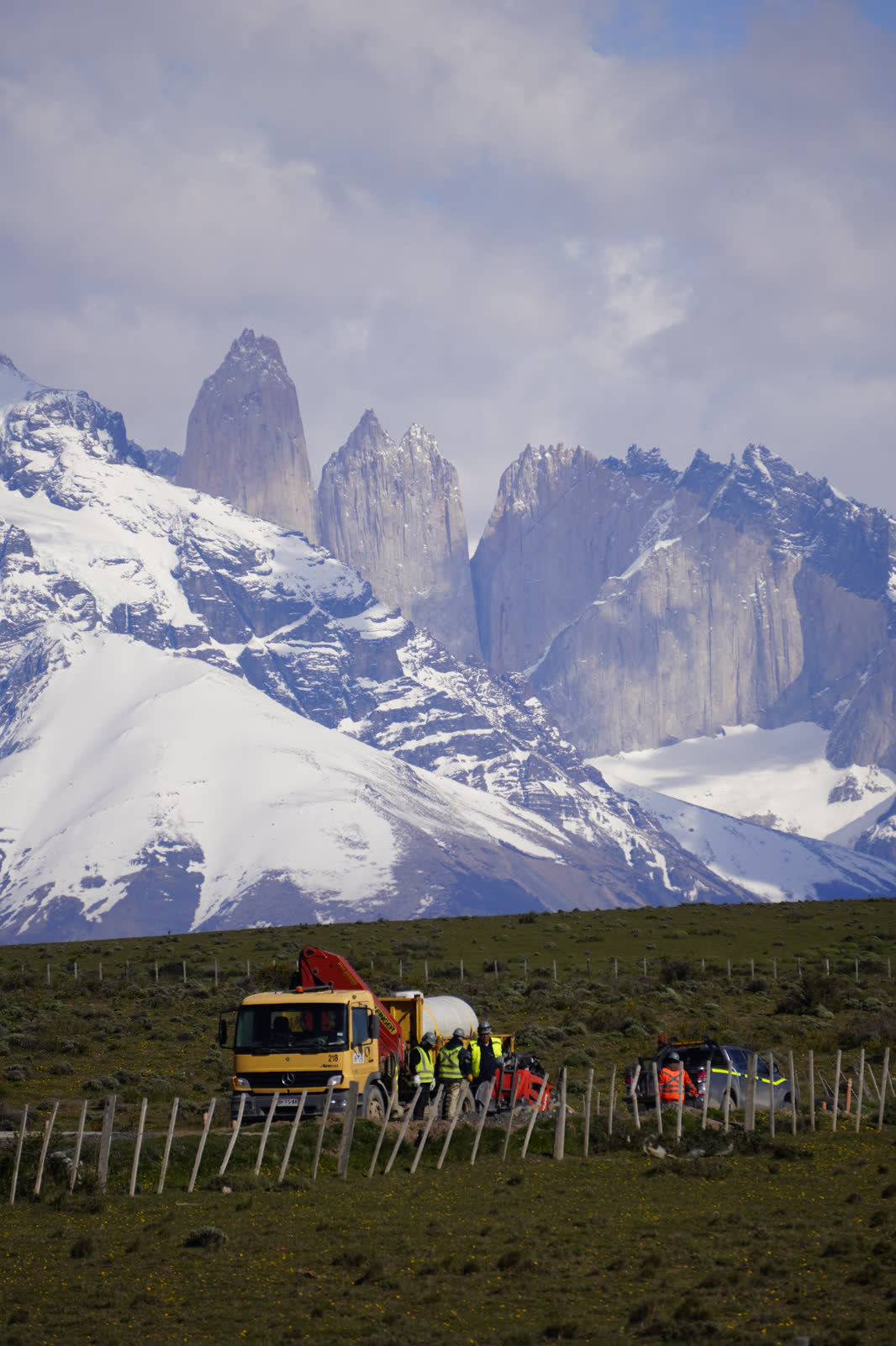
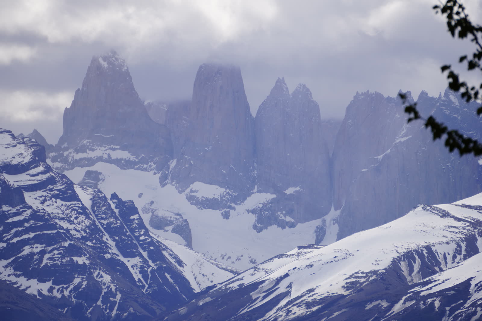
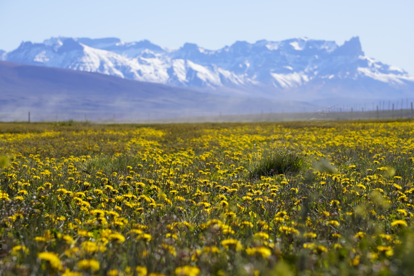
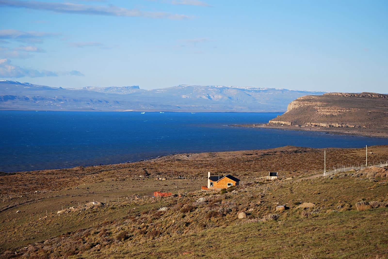
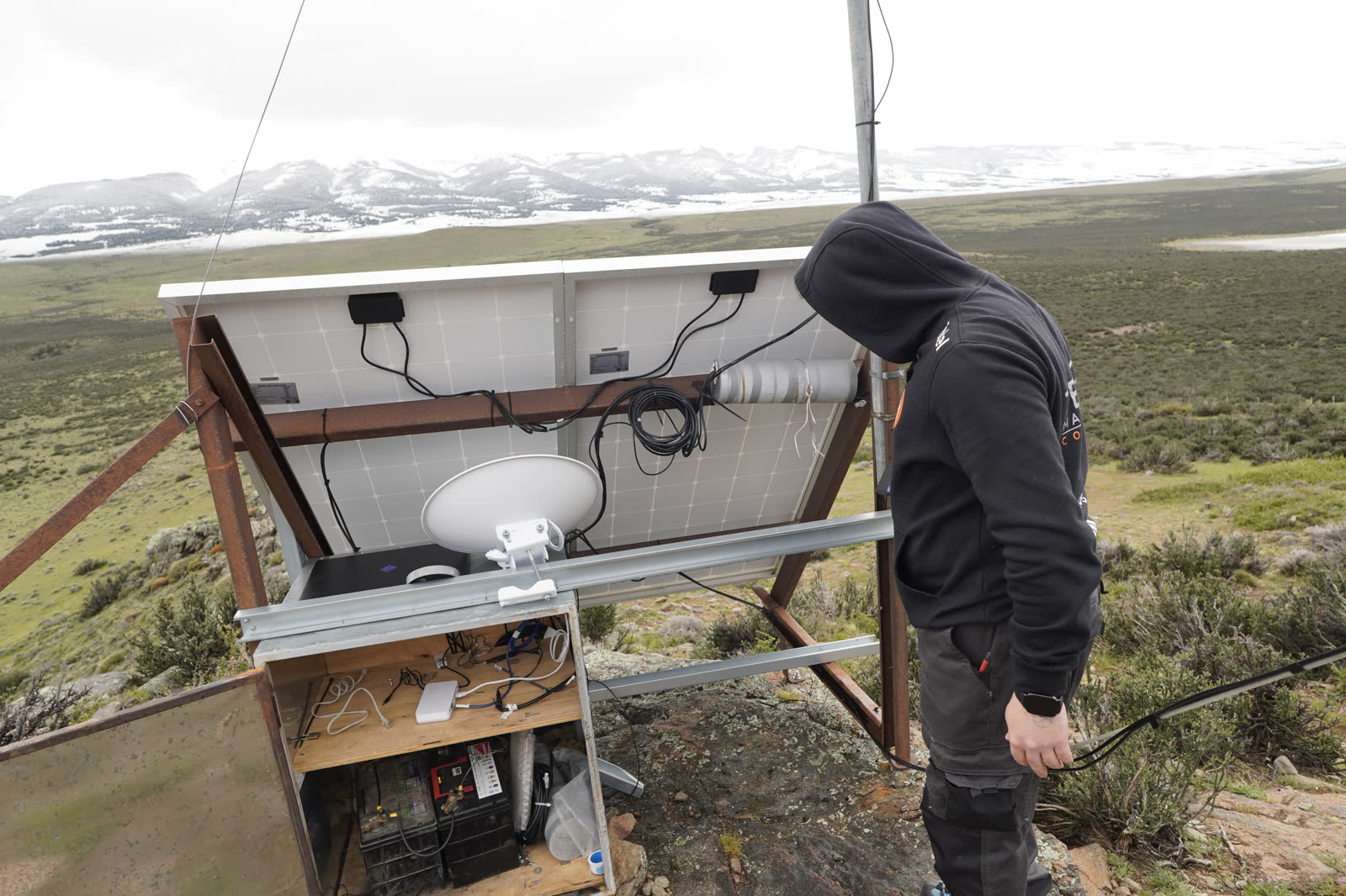
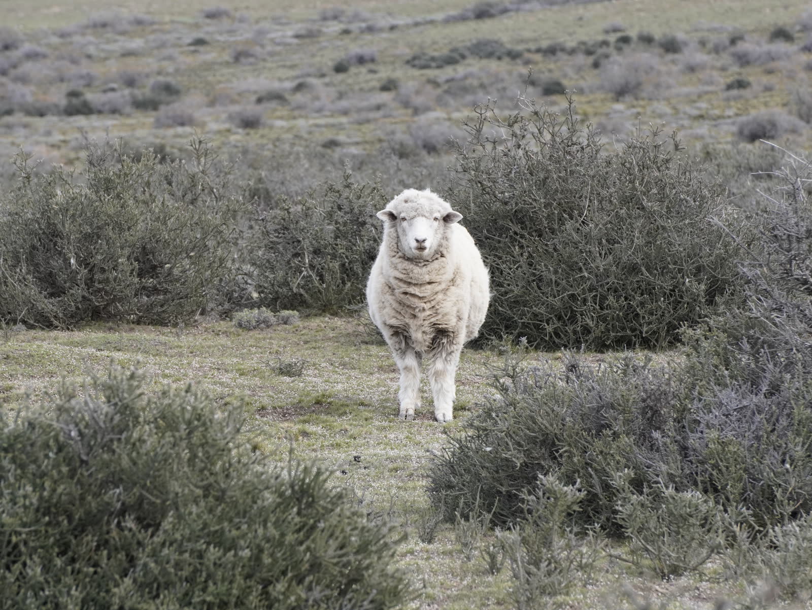
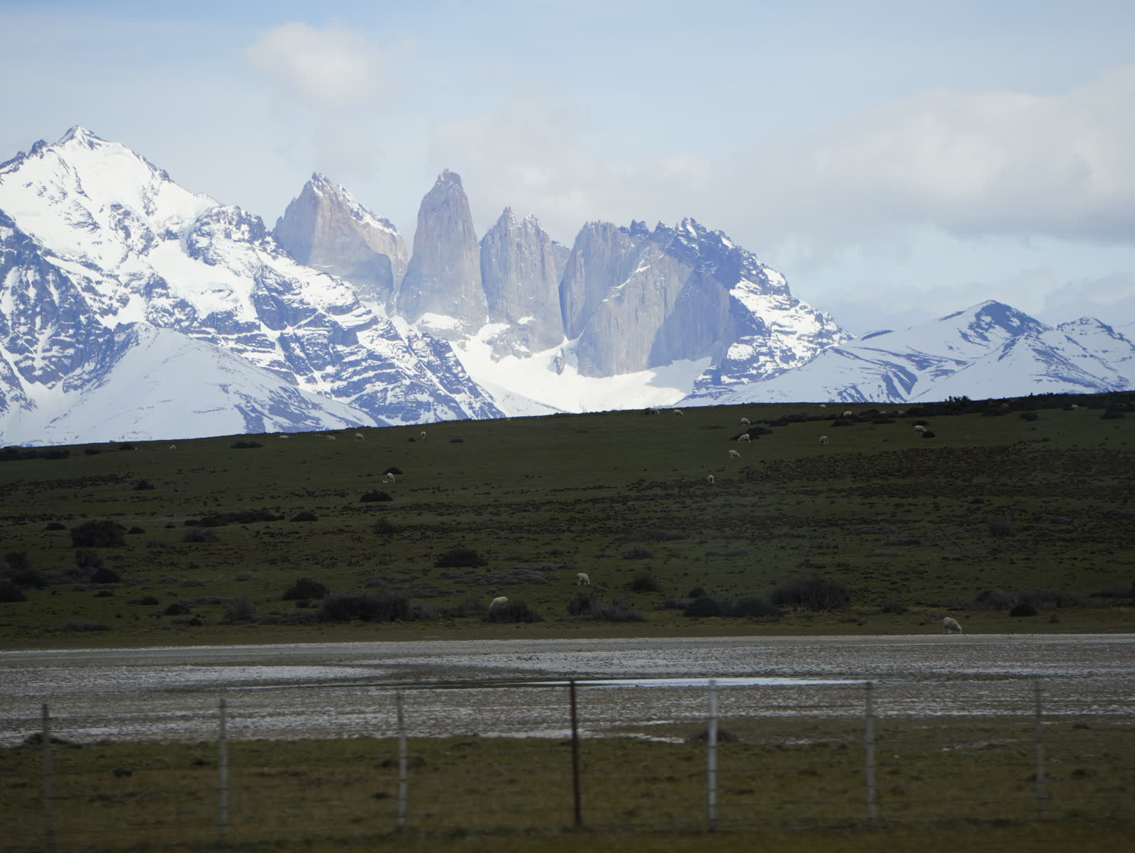
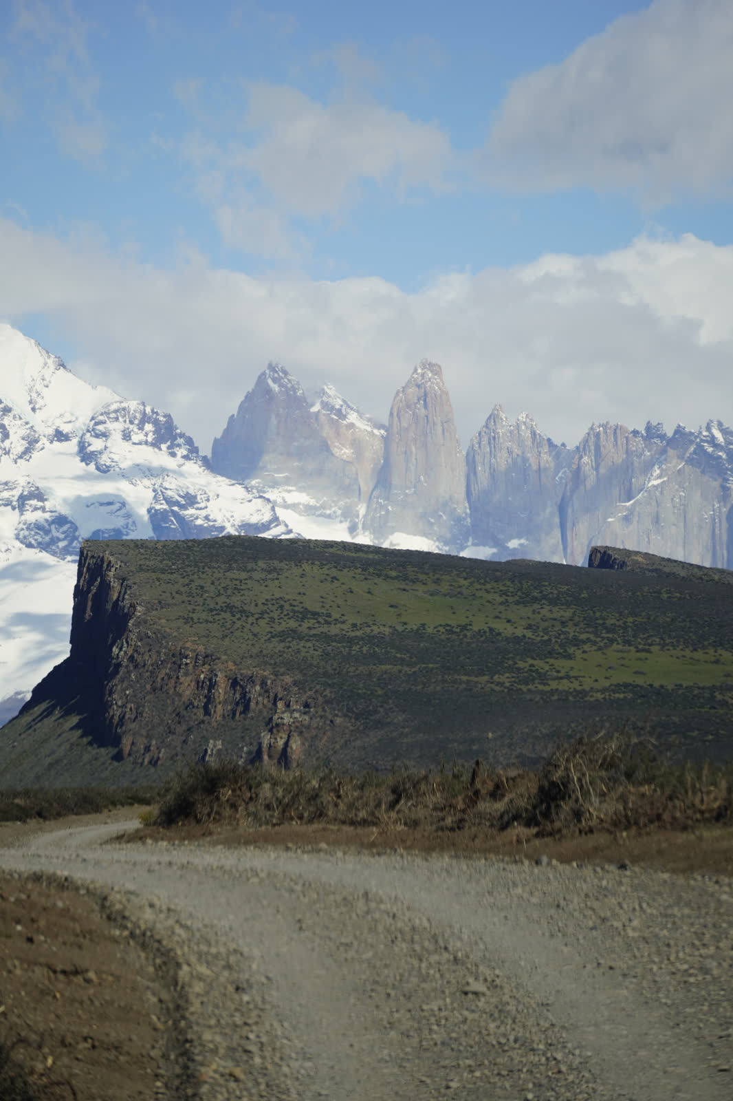
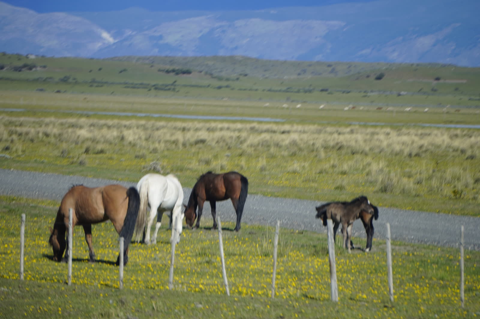
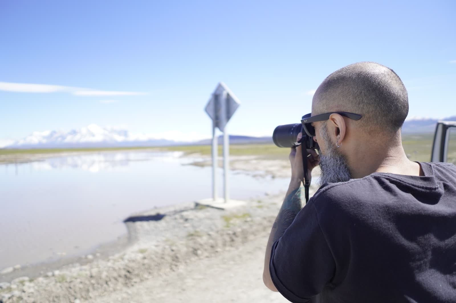
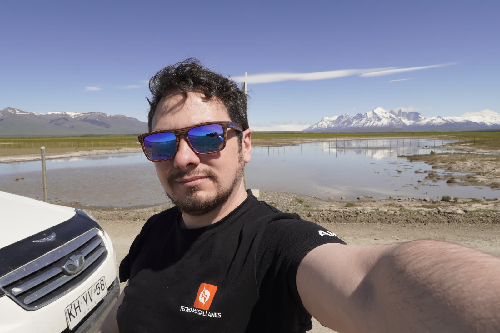
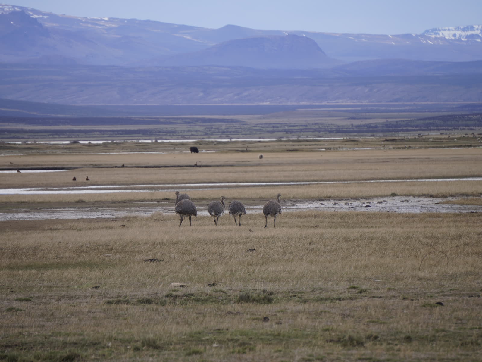
Own photos (Jhonatan Matias): cover, Torres del Paine, steppe, gravel roads, flowers, bird, solar antenna, sheep, horses and gallery. Via Wikimedia Commons: El Chaltén and Fitz Roy — David (CC BY 2.0); Perito Moreno glacier — Diego Delso (CC BY-SA 3.0); El Calafate and Lago Argentino — Pavel Špindler (CC BY 3.0); Puerto Natales pier — Lhormazabal (CC BY-SA 3.0); windy Puerto Natales — Deensel (CC BY 2.0); Punta Arenas — Nampolitis (CC BY-SA 4.0); Ushuaia bay — Gastón Cuello (CC BY-SA 4.0). Route line: © OpenStreetMap contributors (ODbL) via BRouter. Base maps: © OpenStreetMap, © Esri, © OpenTopoMap (CC BY-SA), Esri World Imagery.