I was born in Misiones, at the opposite tip of Argentina. Ushuaia is as far as you can go without leaving the country, and that makes it feel like a promise kept.
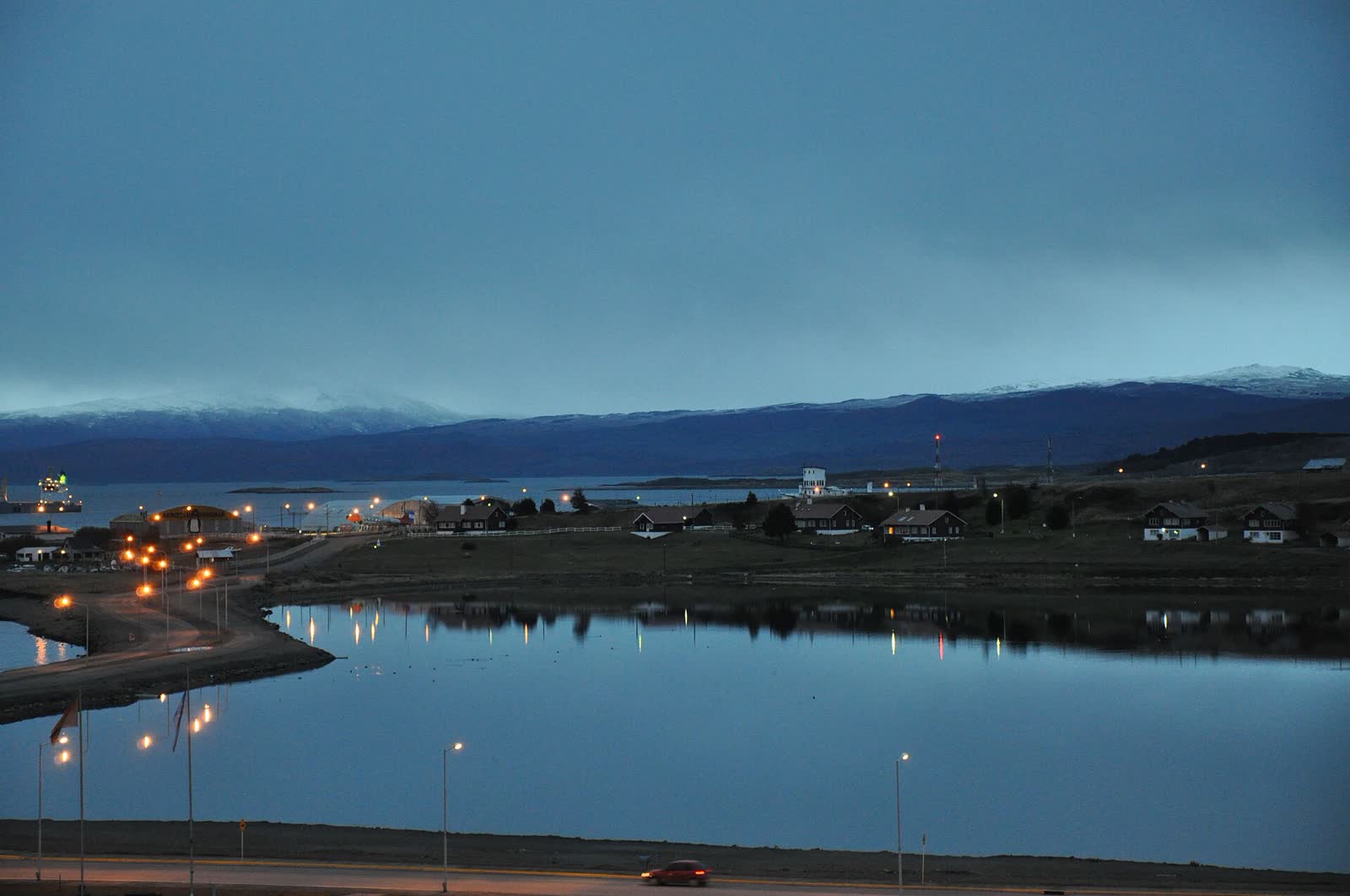
Ushuaia sits at 54° south, pressed between the Fuegian Andes and the Beagle Channel, the arm of sea that separates the main island of Tierra del Fuego from the Chilean islands. There are tiny villages further south on the Chilean side, but no city this size: hence the nickname "the end of the world", which the town wears proudly on signs, passport stamps and even the name of its train.
I flew in from Buenos Aires, and it's the trip people ask me about most. What follows is what you need to do it right: how to get there, the three experiences you can't miss (the channel by boat, the national park and the train), when to go depending on what you want to see, and what each thing costs in 2026, with prices from official sources.
From Turin, where I'm based, it's a long haul: a flight to Buenos Aires and another of about three and a half hours to Ushuaia airport. If you're crossing the ocean for this, give it at least three full days. Any less and you'll fly home feeling you only saw the channel from the plane window.
The end of the world, on a map
The red line is Route 3, from Ushuaia's pier to Lapataia Bay, where it ends. The dotted blue line is the Beagle Channel boat trip and the green one, the railway. Tap any point or press Ride the route.
Five moments you'll reach for your phone
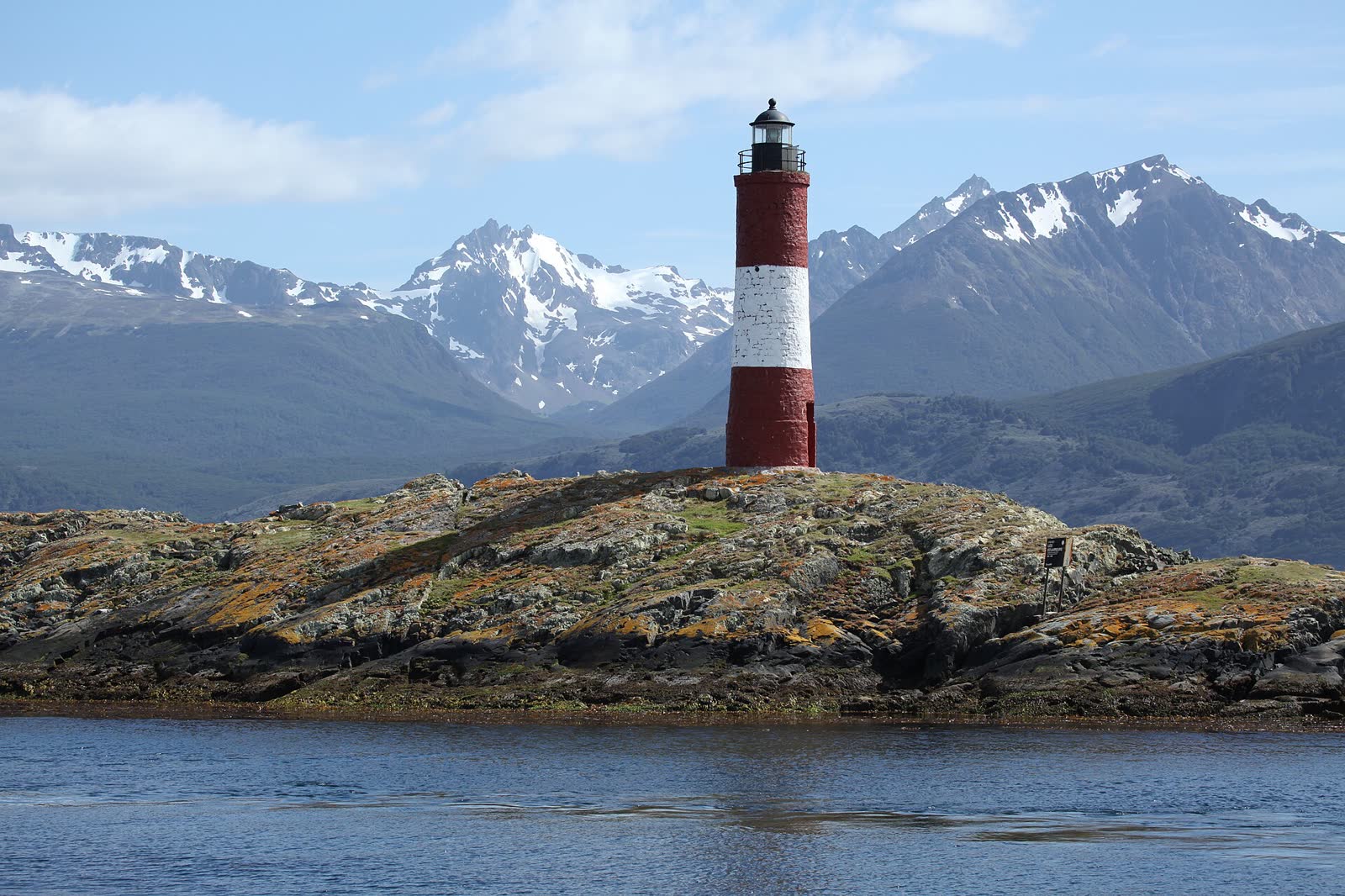
1. Les Éclaireurs lighthouse. Red and white, on a bare islet in the middle of the Beagle, some 15 km east of the port. Everyone calls it "the lighthouse at the end of the world", but the one in Jules Verne's novel is a different one: San Juan de Salvamento, on Isla de los Estados. This is still the photo.
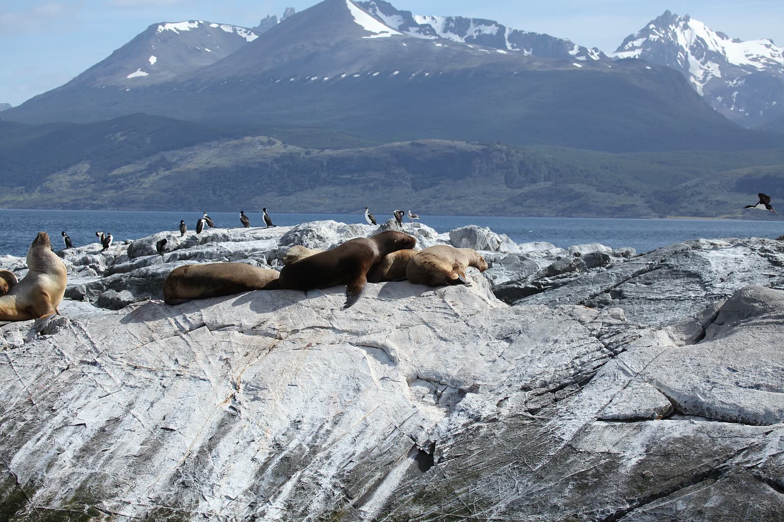
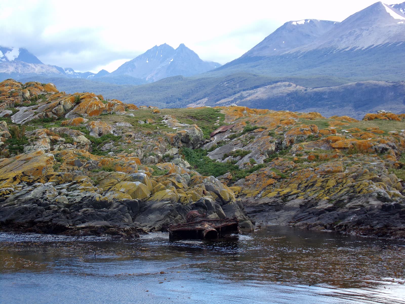
2. Sea lions and cormorants. The classic boat trips pass the islets where colonies of sea lions and cormorants rest. The boat edges in slowly, and the smell reaches you before the view does.
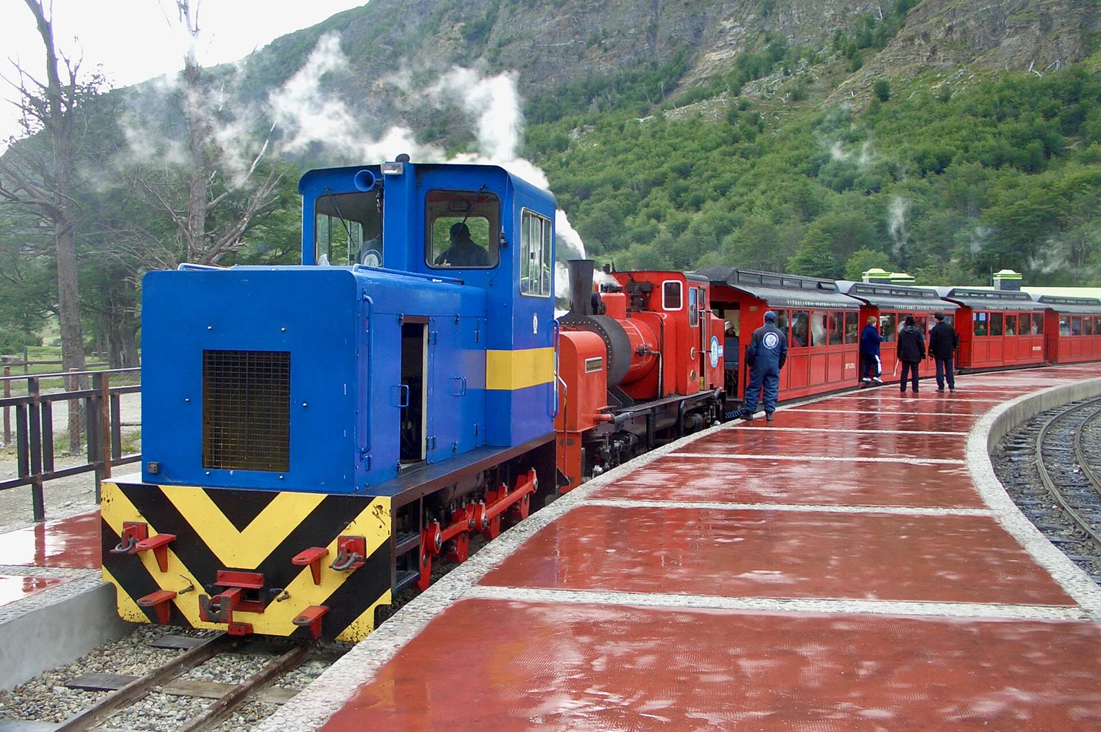
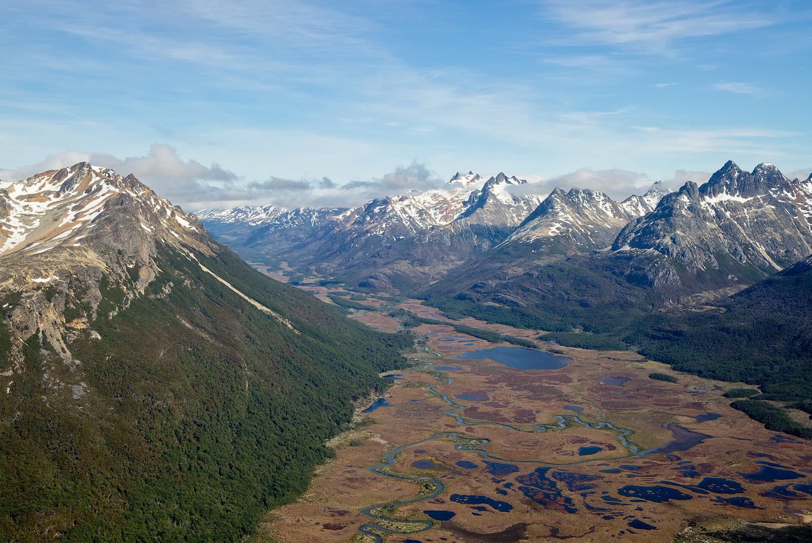
3. The train through the Pipo valley. The End of the World Train runs along the last stretch of the old prisoners' railway, through peat bogs and lenga beech forest, with a stop at La Macarena waterfall.
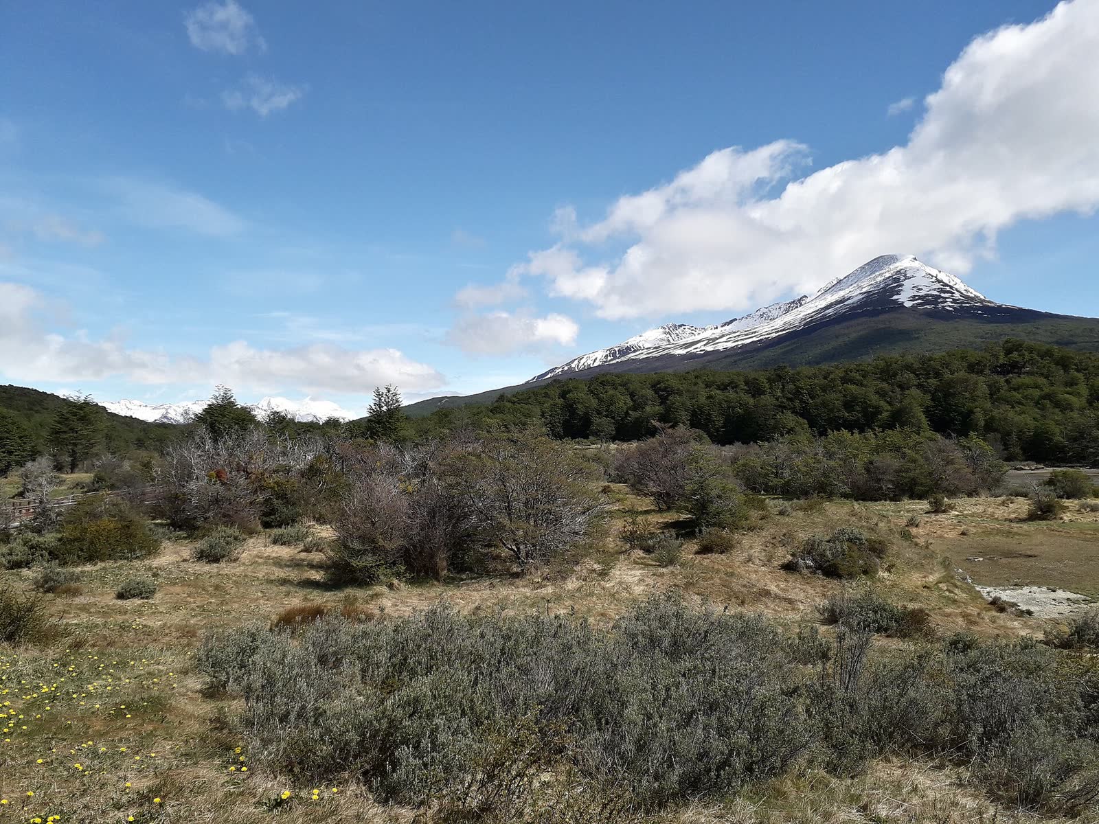
4. Lapataia Bay. Where Argentina's National Route 3, the one that starts in Buenos Aires, comes to an end. A wooden sign marks the spot and the distance to Alaska: 17,848 km. Behind it, the channel and the mountains of Chile.
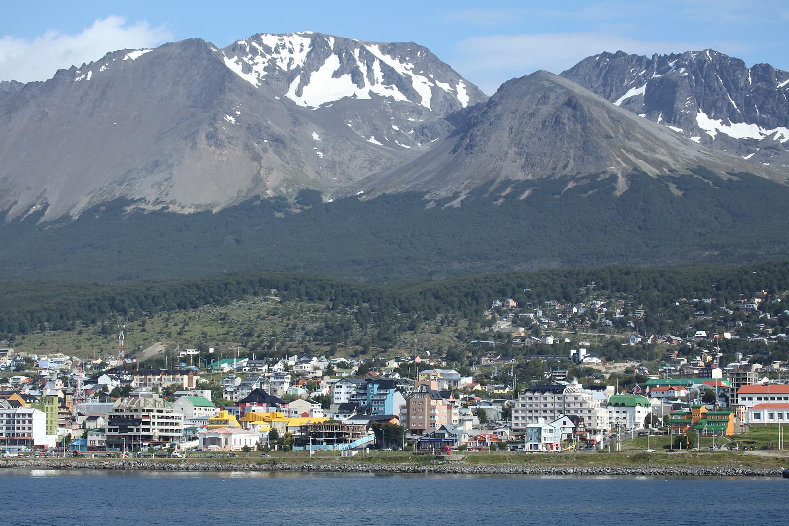
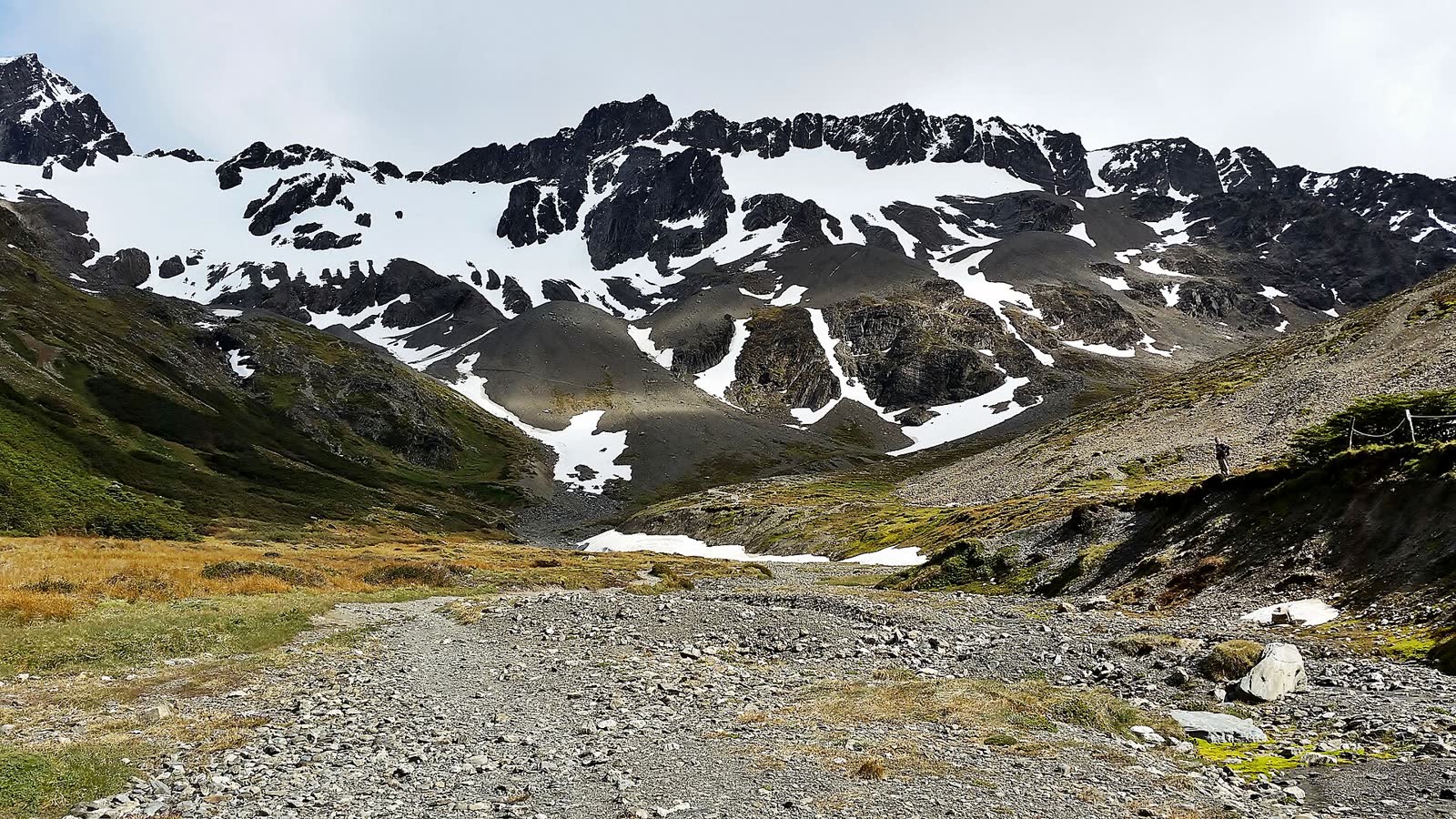
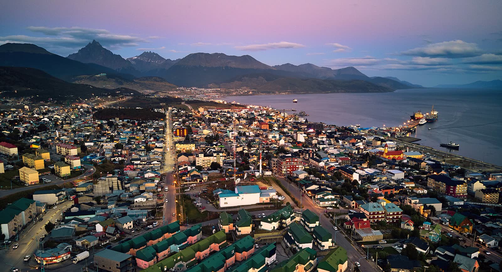
5. Ushuaia from above. From the Martial Glacier area, a few kilometres from downtown, you see the whole city leaning against the channel. In winter it's a ski slope; in summer, a mountain trail.
Three ways to reach the end of the world
By plane from Buenos Aires
This is what almost everyone does. There are direct flights from Aeroparque (and some from Ezeiza) taking about 3 h 15 to 3 h 40. Malvinas Argentinas airport is about 4 km from downtown, on a peninsula in the bay: the landing, with the channel on one side and mountains on the other, is worth the trip on its own.
Overland, on Route 3
Tierra del Fuego is an island, and the Argentine road can't reach it without passing through Chile: from Río Gallegos you cross the border, the Strait of Magellan by ferry (at Primera Angostura) and re-enter Argentina at San Sebastián. Bring your passport and don't carry fruit, meat or dairy: Chilean checkpoints confiscate them. There are also buses from Punta Arenas.
From Europe
There are no direct flights: you connect in Buenos Aires. Watch out for the airport change, because international flights land at Ezeiza and many Ushuaia flights leave from Aeroparque, across the city. If you can, book an Ushuaia flight out of Ezeiza or leave a day of margin.
Ushuaia is the port most Antarctic expedition cruises leave from, between November and March. That's why hotels fill up in high season: if you're going in January or February, book your accommodation early.
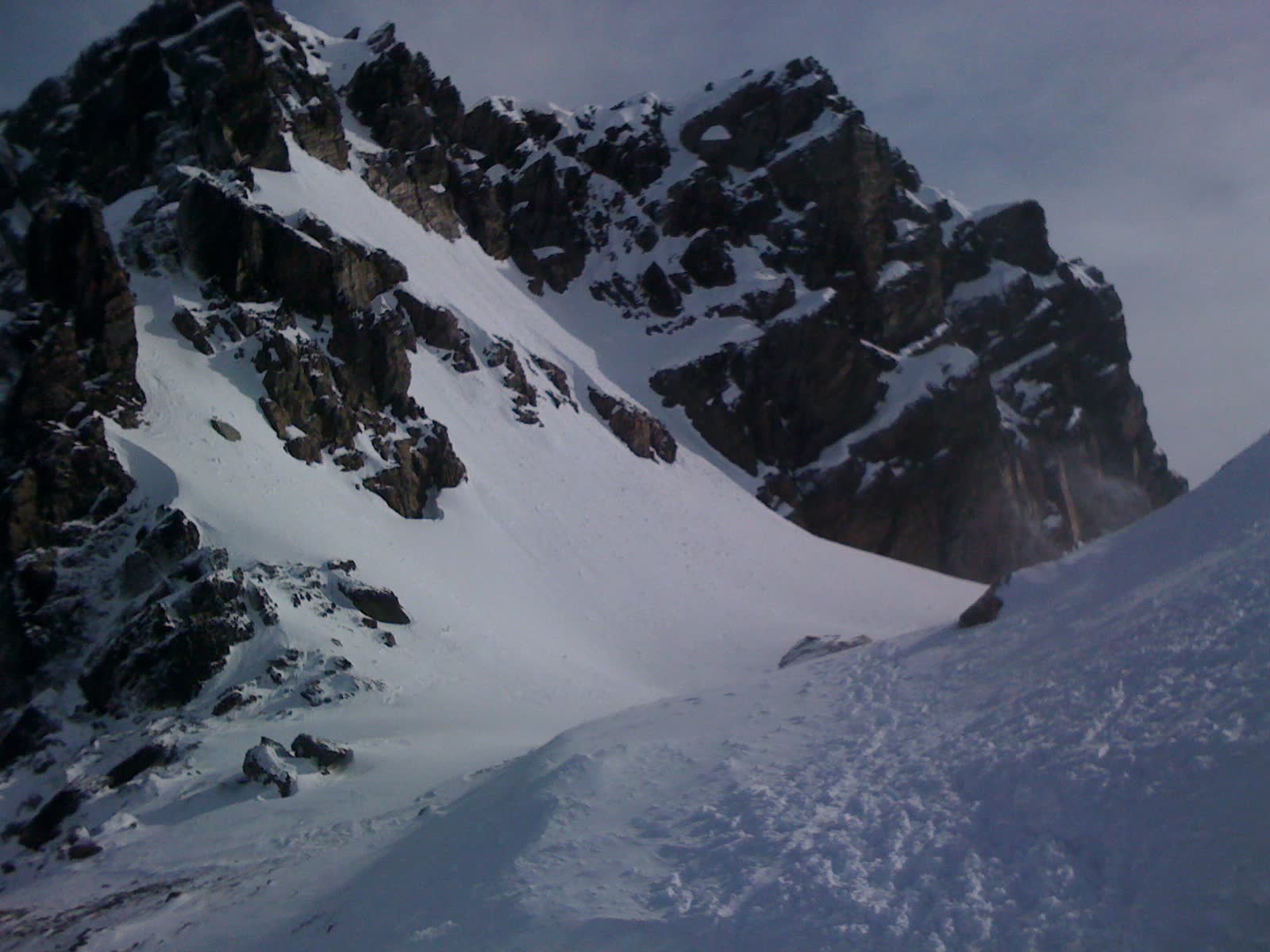
The end of the world in snow
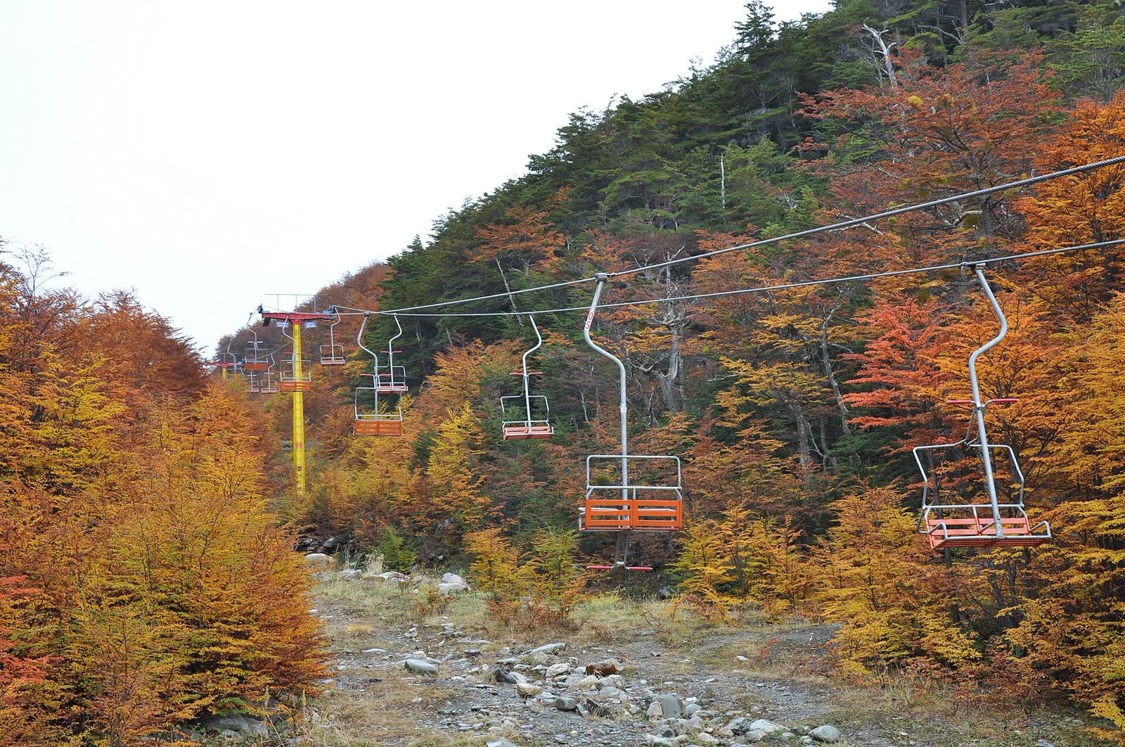
Ushuaia isn't only a summer destination. In winter the days are short and the town changes pace: Cerro Castor, about 26 km along Route 3, is the southernmost ski resort in the world, and above the city Cerro Martial opened a brand-new quad chairlift for the 2026 season, able to carry 1,450 people an hour.
It's a different trip: fewer boat outings (Beagle trips still run, with more cold and less light), more snow, sledding and snowshoe walks through the valleys. If you already know green Ushuaia, the white one will feel like another city.
- June to September: snow season (some years it runs longer)
- April to September: the park is open 9 am to 6 pm
- The train runs all year round, snow included
- Few hours of light: start the day early
The places worth staying for
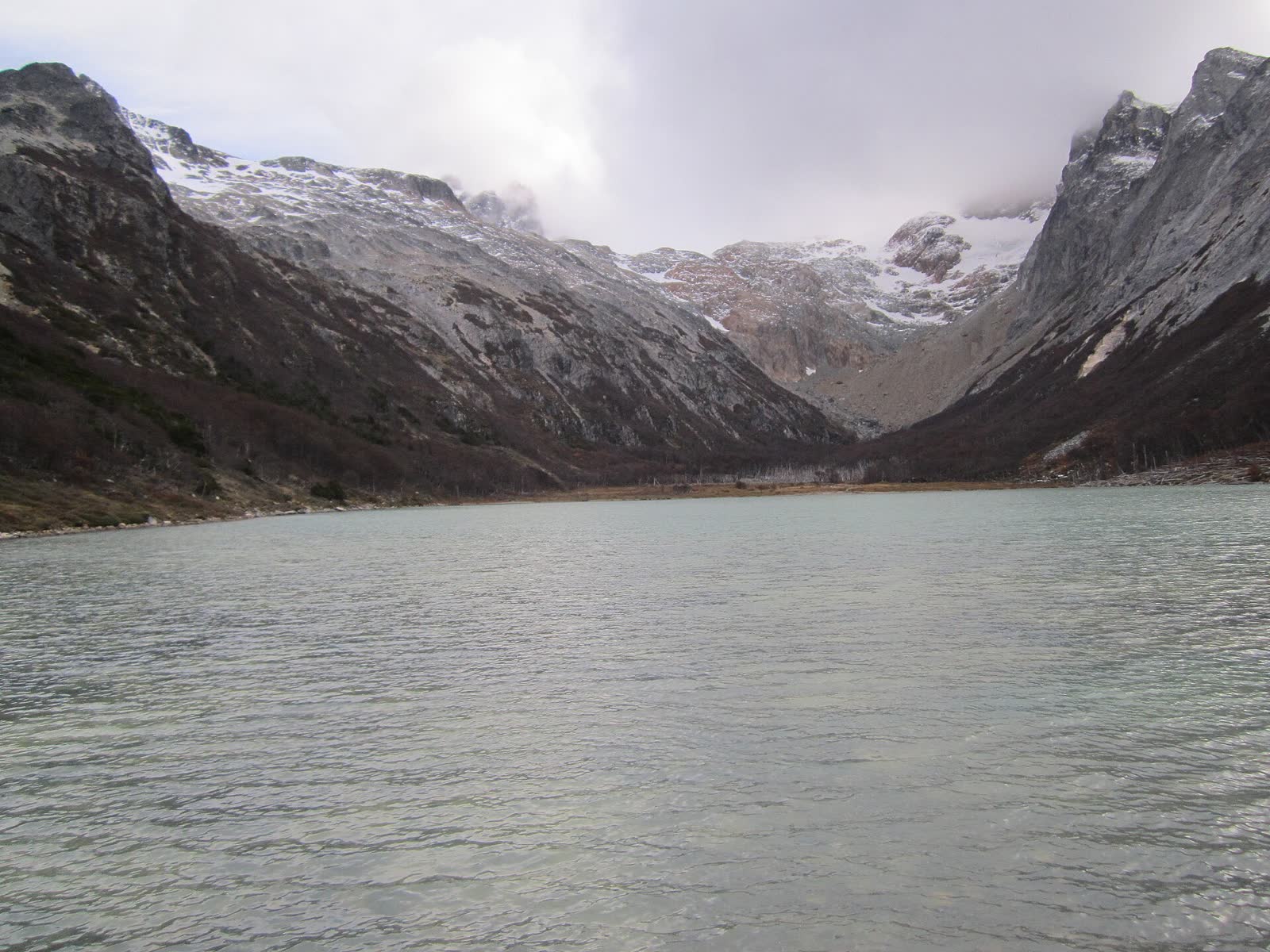
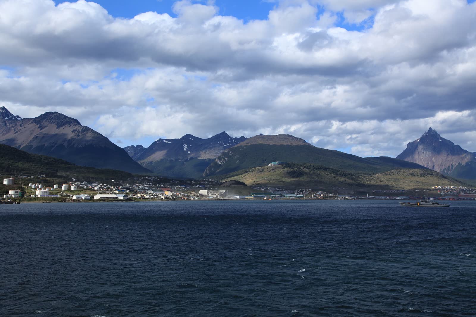
Six spots that make a complete trip: the city, the mountain, the channel and the park.
No ticket includes the other
The most common mistake is assuming the train includes the park, or that the boat trip covers everything. It doesn't: the national park entry, the train ticket and the boat trip with its port fee are all paid separately.
2026 prices (in Argentine pesos)
| What | Foreigners | Argentines | Others |
|---|---|---|---|
| Tierra del Fuego National Park · day pass Valid from 1 June 2026 | 40,000 | 18,000 | 12,000 students |
| National Park · 3-day Flexipass | 80,000 | 36,000 | 16,000 province residents |
| End of the World Train · Tourist class October 2026 to March 2027 · ages 13+ | 80,000 | 40,000 ages 4 to 12 | |
| End of the World Train · Premium class | 250,000 | 125,000 ages 4 to 12 | |
| Beagle Channel boat trip (3 to 4 h) Varies by company and boat | from ~100,000 | + ~5,200 port fee | |
Example for a foreign visitor doing all three: park 40,000 + tourist train 80,000 + boat trip ~105,000 = about 225,000 pesos per person. Park and train: official fares from Argentina's National Parks and the End of the World Train, checked on 4 November 2026. Boat trips: reference prices from the Ushuaia tourism office leaflets of April and May 2026; always confirm when you buy, as prices in Argentina are updated often.
National Parks gives 50% off a second day of visit within 72 hours of your first entry. In Tierra del Fuego that discount applies only to tickets bought through the online sale. Children aged 0 to 6 enter free.
The park, two ways
You can enter Tierra del Fuego National Park on the historic train or on your own, by car or with the shuttles that leave from downtown (corner of Fadul and Maipú) and make seven stops up to Lapataia. They're different experiences: one is a ride with history, the other lets you actually walk the park.
End of the World Train
- Runs on the old prisoners' railway
- A stop of about 20 minutes at La Macarena waterfall
- Audio guide in 10 languages, great with kids or older travellers
- ARS 80,000 plus the park entry, which isn't included
- About 7 km: it doesn't reach Lapataia or Lake Acigami
The park on foot
- You only pay the park entry and transport
- The Coastal Trail: 8 km of forest and channel, about 4 h
- You reach Lapataia, Lake Acigami and the Ensenada post office
- Your own pace, picnic included
- The long trails only open from November to April
Four seasons, four different trips
Ushuaia is cool all year and the weather changes in minutes. The real difference between seasons is light, snow and wildlife.
Summer
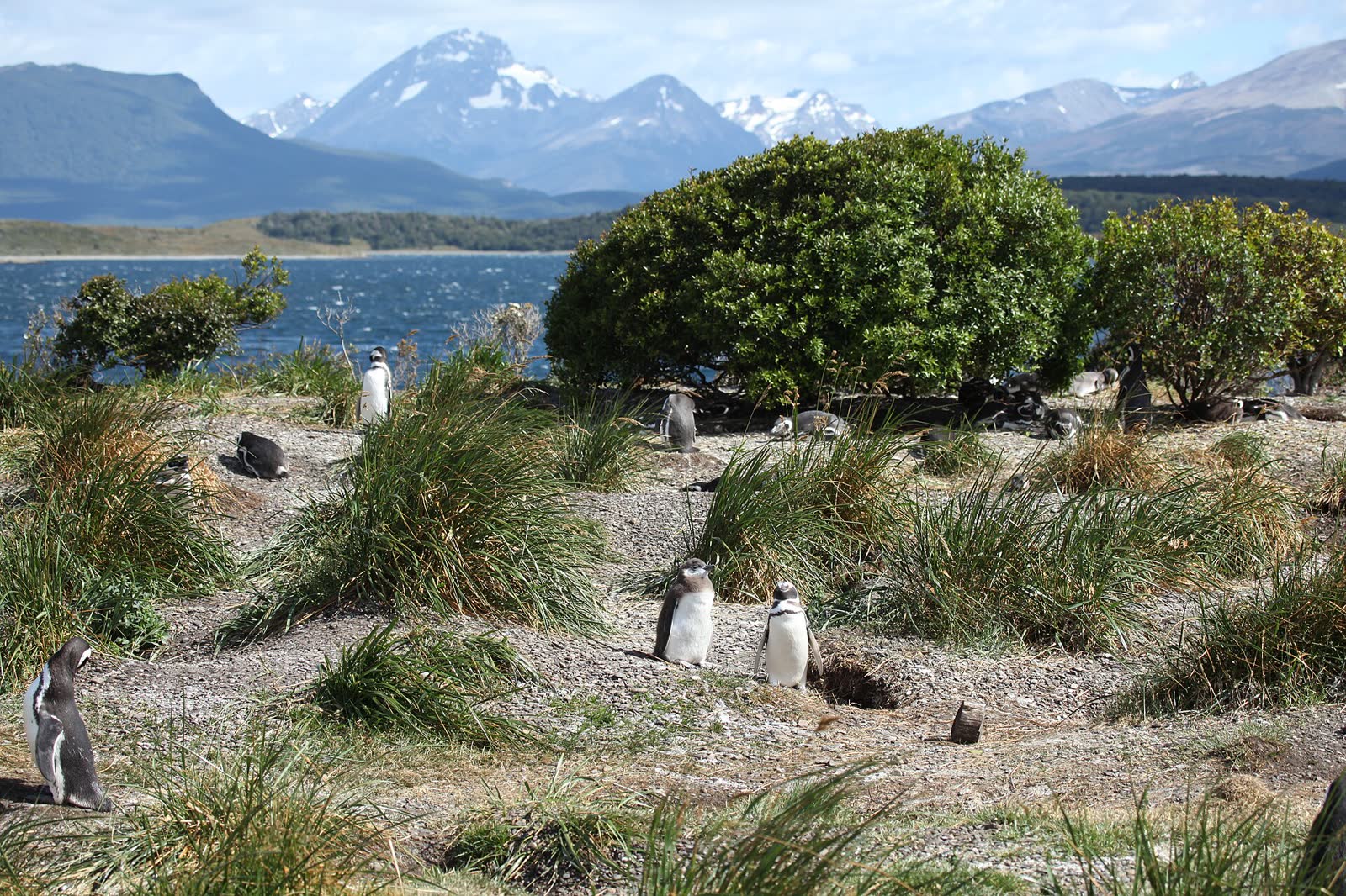
Up to about 17 hours of daylight, every trail open, penguins on Martillo Island and the park open until 9 pm. The busiest and most expensive season.
Autumn
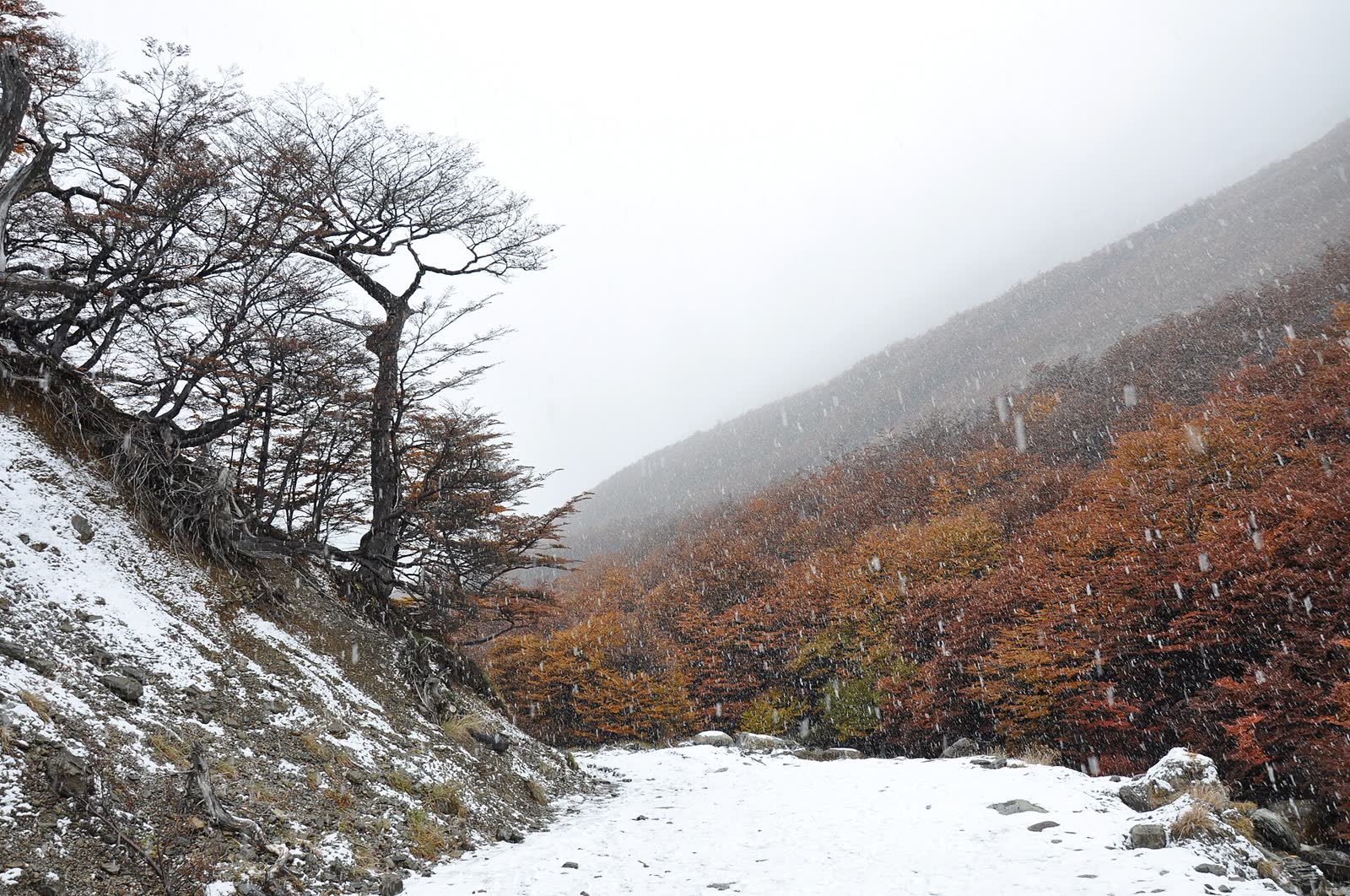
The lengas turn red and yellow, crowds thin out and the penguins stay until early April. For me, the best balance of scenery and price.
Winter
Snow, skiing at Cerro Castor and on the Martial, short days. The train and some boat trips keep running; the high trails don't.
Spring
The penguins arrive in October and the park's long trails open in November. There can still be snow on the peaks.
Three days: water, forest and mountain
Ushuaia works best when you spread things out instead of stacking them. The weather is in charge: if a day dawns clear and windless, that's boat day. Keep the plan flexible and move the pieces around the forecast.
The three-day plan I'd put together: day 1, a Beagle Channel boat trip in the morning (lighthouse, sea lions and cormorants) and in the afternoon the Maritime and Prison Museum, in the old jail that gave birth to the train. Day 2, the national park: train one way (you can buy a one-way ticket and stay in the park), the Coastal Trail to Lapataia and the sign at the end of Route 3. Day 3, if it's the season, the Martillo Island penguin colony and Estancia Harberton; if not, the hike to Laguna Esmeralda or up the Martial.
Seven things worth knowing
According to Argentina's National Parks, the Coastal Trail, Hito XXIV, Cerro Guanaco, Pampa Alta and the Río Pipo waterfall trail are open only from November to April; the last entry to Cerro Guanaco is at 12:30. Laguna Negra has its boardwalk and some sections under repair, and at Laguna del Caminante there's avalanche risk while snow remains on the peaks: check with the provincial Civil Protection office before heading out.
Official links to book
Photo and map credits
Photos via Wikimedia Commons: Les Éclaireurs lighthouse, Ushuaia from the channel, sea lions, penguins and the Beagle Channel — Liam Quinn (CC BY-SA 2.0); Les Éclaireurs islets — Gastón Cuello (CC BY-SA 4.0); End of the World Train — Mark Fischer (CC BY-SA 4.0); the train in the Pipo valley — Banfield (CC BY-SA 3.0); Lapataia Bay — Josefito123 (CC BY-SA 4.0); Lapataia through the forest — Sebastian Werner (CC BY 2.0); chicks on Martillo Island — MatheusR42 (CC BY 4.0); Martial Glacier — Justraveling.com (CC BY-SA 4.0); Martial chairlift in autumn, snow among the lengas and the bay at dusk — Jorge Láscar (CC BY 2.0); Lake Acigami — Ulises Icardi (CC BY-SA 4.0); Laguna Esmeralda — Eugeniabaccaro (CC BY-SA 4.0); Ensenada post office — Zuarin (CC BY 3.0); Cerro Castor — Equinteros (CC BY-SA 4.0); Carbajal Valley — Godot13 (CC BY-SA 4.0); Ushuaia at sunset — Deensel (CC BY 2.0). Route 3 track: © OpenStreetMap contributors (ODbL) via BRouter; the channel boat route is approximate. Base maps: © OpenStreetMap, © Esri, © OpenTopoMap (CC BY-SA), Esri World Imagery.